Look at Mersing before looking beyond it
Mersing often appears in a holiday plan as the place where the car journey ends and the island trip begins. Its coast has a story of its own. Geological publications identify the Pulau Mawar tidal-flat area and describe the coastal relationship between Tanjung Mawar and Pulau Mawar. The interesting question is not just whether a photograph looks beautiful: why does land take that shape beside the sea? This article introduces that landscape story. It is not a current access report, a route to the island or a promise that a particular viewpoint is open.
A tombolo: the connection is part of the attraction
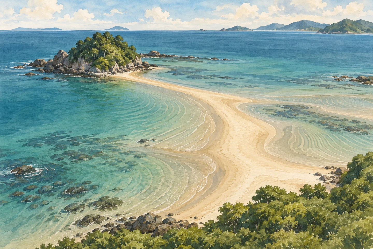
A tombolo is a deposit that links an island or offshore landform to another piece of land. In the Mawar description, sediment deposition is central to understanding the connection. Instead of seeing a strip of sand only as empty space between two destinations, think of it as part of the coast's changing structure. The concept illustration above makes that relationship easier to imagine, but its contours, distances and surrounding islands are not a map of the real site. Never use it to choose a crossing line or estimate how far away something is.
A tidal flat is not an empty beach
The research names Dataran Pasang Surut Pulau Mawar—a tidal-flat setting. That points to a place whose visible surface relates to the sea's rise and fall, rather than a fixed dry promenade. If a locally permitted observation point is available during your visit, look for broad differences in surface, water and deposited material from that safe position. Do not assume exposed sand is firm, accessible or safe to walk on. Knowing the term can make the view richer without turning observation into an attempt to reach the island.
Try looking for a process, not just a photo spot
At a permitted viewpoint, one useful prompt is: which parts of this scene seem relatively fixed, and which might look different with the water? Another is: where does the deposit connect the landforms in the geological description? Keep the answers tentative unless local interpretation confirms them. Do not collect rocks or sediment, disturb the shoreline or move closer for a better picture. A geological explanation should deepen appreciation, not become a reason to treat the coast as a playground or to assign an ancient age to a newly visible patch of sand.
Let this be a separate coastal chapter
If Mawar interests you, research a separate coastal visit rather than squeezing it into the spare minutes before a ferry. Ask a responsible local source about current access, permissions, weather and an appropriate place to observe; those details have not been independently verified here. No tide time, entry fee, crossing window or walking route is supplied. If conditions or permission are unclear, keep the discovery to reading and return another time. A missed photograph is preferable to turning a landscape idea into an unsafe detour or a missed boat.
Three questions before you turn the idea into a visit
Does a geological-site listing mean there is a managed visitor attraction? Not necessarily; check actual arrangements. Does the article establish UNESCO status? No, we make no such claim. Can a driver booking guarantee coastal or island access? No. This is an independent introduction based on geological and tourism references checked on 8 October 2026, not a first-hand visit review. Its purpose is to give Mersing a little more depth in your imagination—so the town is more than a name on a ferry ticket.
A clear transport enquiry leaves the exploration separate
Provide Singapore pickup, travel date, the confirmed accessible Mersing destination, passengers and luggage, child or mobility needs, and any requested stops, waiting or return. Include ferry details if that is also part of the trip. The provider must confirm route feasibility, vehicle fit and the final quote; this page does not promise a vehicle can reach a beach or an unverified access road. Border and road conditions affect timing. Keep any local guiding, coastal permission and sea conditions separate from the transport agreement.
Geological and destination references
Let transport fit your Mersing plans
Send the confirmed accessible destination and journey details; coastal access and any ferry arrangements need separate confirmation.
Ask about Mersing transport